Monte Cartucceddu
A granite ridge in Ogliastra, Monte Cartucceddu offers sweeping views over the Gulf of Tortolì and the Sardinian peaks. Ideal for nature hiking away from the crowds, in spring or autumn.
Monte Cartucceddu rises in the Ogliastra region of eastern Sardaigne, not far from Bari Sardo. This granite ridge overlooks a landscape of Mediterranean maquis and offers clear views across the Tyrrhenian coast and interior peaks. The site draws hikers and nature lovers seeking wild terrain away from the usual tourist circuits.
What you'll see
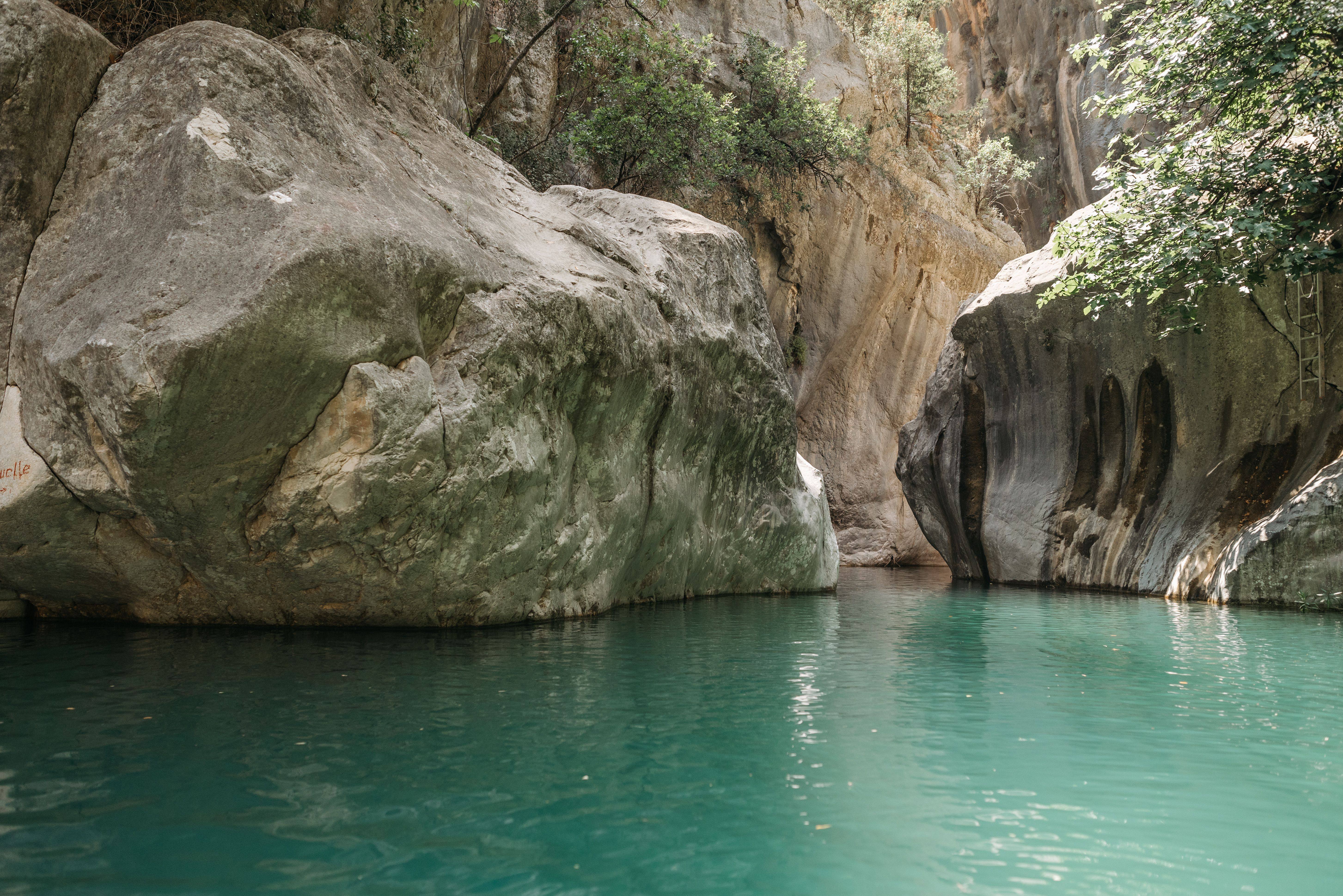
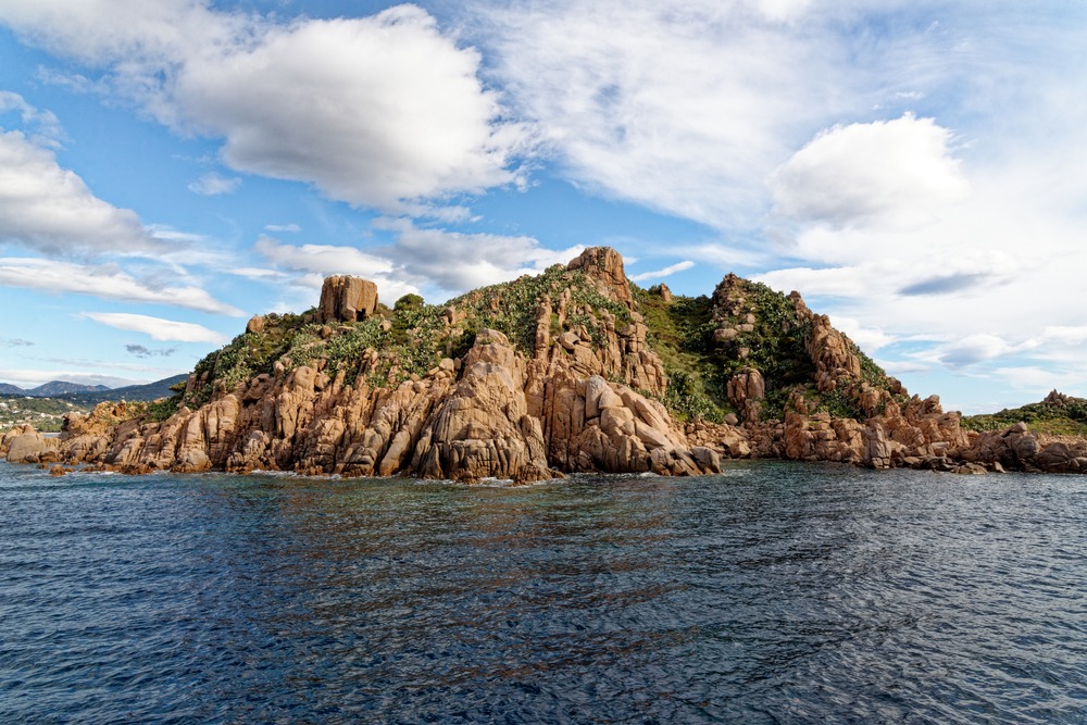
The summit reveals a panorama over the Gulf of Tortolì, coastal lagoons, and the Ogliastra ridges. The vegetation is typical of the Sardinian maquis: rock roses, mastic trees, junipers. Granite rock formations punctuate the ascent. On clear days, the view extends to the islands of the La Maddalena archipelago in the north.
History and context
Ogliastra is one of Sardaigne's most isolated zones, long difficult of access. Its ridges served as shelter and transhumant grazing territory. Monte Cartucceddu sits within this millennia-old pastoral landscape, marked by stazzi (isolated farmhouses) and traces of Nuragic occupation in the immediate surroundings.
Highlights of the visit
The summit panorama
From the highest point, the view embraces both sea and interior mountains simultaneously. The east-west orientation allows you to observe the sunrise over the sea and the raking light of evening on the ridges.
Maquis flora
In spring, the garrigue blooms. Pink rock roses, asphodels, and wild orchids border the trails. This is the best season for hiking, before the summer heat sets in.
Photography tips
Morning light is ideal for photographing the coast from the summit, before heat haze veils the horizon. Granite formations backlit in late afternoon offer interesting textures. No known photography restrictions on this natural site.
Location and access
Monte Cartucceddu lies in the municipality of Bari Sardo, in Ogliastra. Access is via tracks and trails from the village. A vehicle is necessary to reach the hiking starting point; no public transport serves the site directly. The terrain is rough: proper hiking boots are essential. Accessibility for people with reduced mobility is non-existent on this undeveloped natural site.
Nearby
- Lagoon of Tortolì — a coastal wetland home to flamingos and herons, a few kilometres to the east.
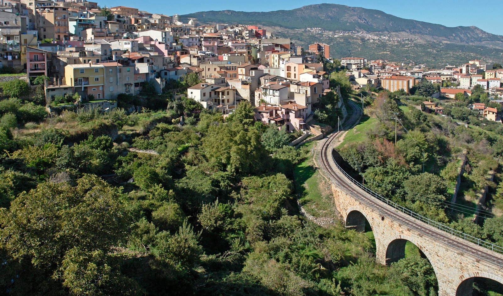
- Bari Sardo — an Ogliastran village with its Aragonese tower and typical alleyways.
- Cea Beach — fine-sand beach framed by red rocks, accessible from Bari Sardo.
- Su Gorropu Gorges — one of Europe's deepest canyons, in the neighbouring Supramonte.
Frequently asked questions
Spring (April–June) and autumn (September–October) are the most pleasant seasons. In summer, temperatures and wildfire risk make hiking difficult and sometimes prohibited.
No known regulatory requirement. However, trails are poorly marked; a topographic map or GPS is recommended for hikers unfamiliar with the terrain.
Yes. Cea Beach and the beaches at Bari Sardo are nearby. A half-day covers the ascent, leaving the afternoon free for the coast.
No developed water sources are known on the trail. Bring sufficient water, especially in summer.
No entrance fee is known for this natural site. Check with Bari Sardo municipality in case of seasonal regulations.
Interested in this visit?
We can include it in your personalised itinerary.